Tropical Meteorology Project team increases forecast, predicts very active season
Colorado State University hurricane researchers have increased their forecast slightly and now call for a very active Atlantic hurricane season in 2020, citing the likely absence of El Niño as a primary factor. Sea surface temperatures averaged across portions of the tropical Atlantic are somewhat above normal, while the subtropical Atlantic is much warmer than average. This type of sea surface temperature configuration is also considered favorable for an active 2020 Atlantic hurricane season.
The tropical eastern and central Pacific currently has cool neutral ENSO conditions; that is, the water temperatures are slightly below average. CSU anticipates that these waters will continue to cool relative to their long-term averages over the next several months, potentially reaching weak La Niña conditions by the peak of the Atlantic hurricane season. Consequently, they believe that El Niño is extremely unlikely this year. El Niño tends to increase upper-level westerly winds across the Caribbean into the tropical Atlantic, tearing apart hurricanes as they try to form.
The Caribbean and central tropical Atlantic are somewhat warmer than normal. Warmer-than-normal sea surface temperatures provide more fuel for tropical cyclone formation and intensification. They are also associated with a more unstable atmosphere as well as moister air, both of which favor organized thunderstorm activity that is necessary for hurricane development.
Read the full Source article, “Increasing forecast slightly, CSU researchers predict very active 2020 Atlantic hurricane season.”
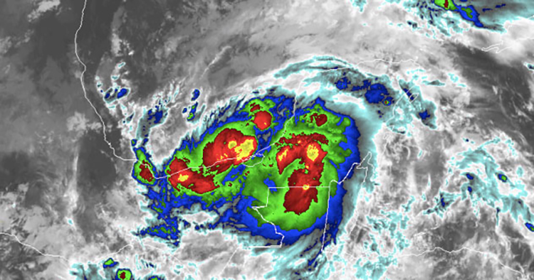
Image at top: Tropical Storm Cristobal making landfall in Mexico, June 3. Credit: NOAA/GOES-East


